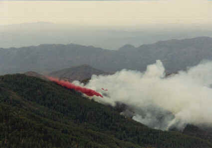
These
photos were taken by the Forest Service lookout, from her
vantage
point on Signal Peak, looking below and toward the W-SW.
Above
was taken on Tuesday, August 1. Above the red fire retardant
drop,
you can make out the orange and white P-3 Orion drop plane.
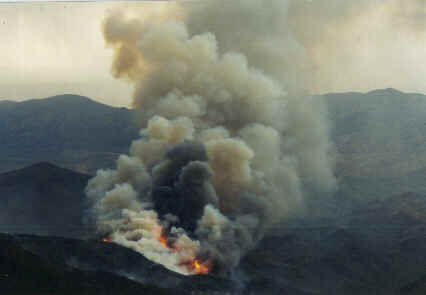
Above
is the fire from about the same vantage point, after it
flared
up on
Wednesday, August 2.
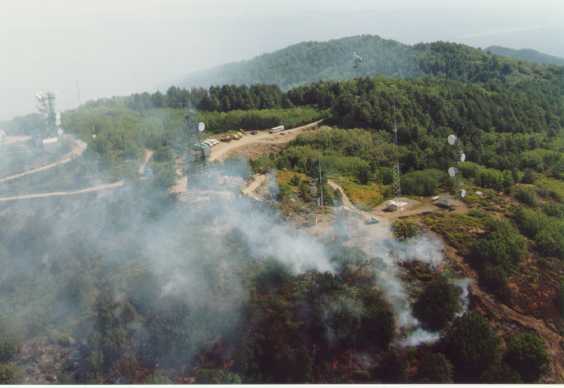
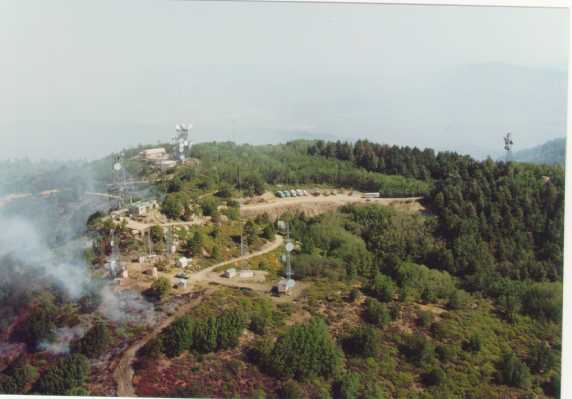
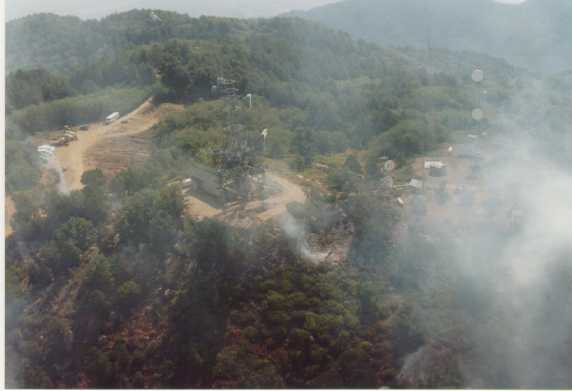
Here
are some more pictures, taken by Ron Taylor, Comm Tech for
SRP, from the SRP
helicopter
overflying the fire. This is Pinal Peak.
PEAKS
FIRE FACTS
From
USDA National Forest Service, Tonto National Forest Office Press
Release
Location:
South of Pinal and Signal Peaks, 8 miles south of Globe, AZ
on the Tonto National Forest.
Start:
Lightning on Sunday, July 30, 2000.
Estimated
size: 2,310 acres
Containment:
100 % (as of August 25)
Fuel
Type: Mixed conifer and chaparral
Evacuations/Closures:
Recreation cabins evacuated. Closures on Forest Roads
651 and 112.
Hazards:
Extremely steep ground, heavy fuels, hot temperatures,
lightning, rainstorms, and limited and difficult access.
Resources:
Total
Personnel: approximately 91
Crews:
20 crew personnel (1 type II crew)
Engines:
1
Watertenders:
1
Dozers:
2
Helicopters:
1